
Susanna Freymark
Tuckean Swamp has long needed some help – the 6000ha coastal floodplain and wetland is a significant contributor to water quality in the Richmond catchment.
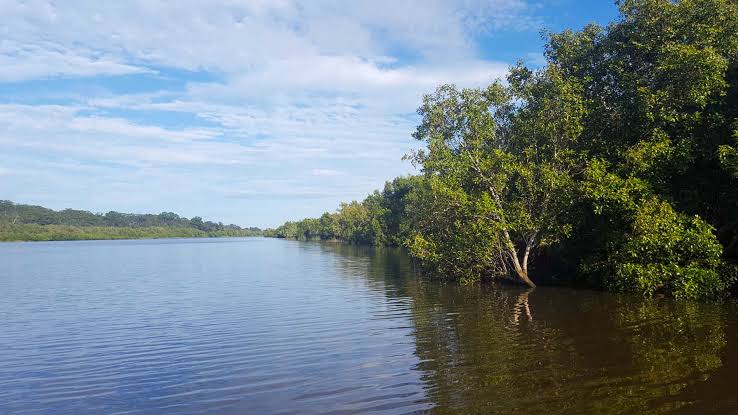
Tuckean Swamp is located on the lower Richmond River floodplain between Wardell, Coraki and Broadwater.
Part of it is protected as Tuckean Nature Reserve with a surviving paperbark and swamp oak forest, sedgeland and reed swamp.
Tuckean Swamp’s story is about drainage and the State Government is funding its rehabilitation with the announcement of $500,000 through a Low Carbon Landscapes grant.
The Tuckean Swamp Blue Carbon Demonstration Site project will looks at the restoration of tidal connectivity to improve water quality and support ecosystem resilience.
From the late 1800s the swamp was drained for cane, tea tree and grazing, culminating in the Bagotville Barrage (1971), which cut off tidal exchange with the Richmond.
Drainage exposed acid sulfate soils, and the swamp is now recognised as one of the worst acid sulfate affected areas in NSW.
Restricting tidal flow also wiped out mangrove and saltmarsh habitat and blocked fish passage.
The University of NSW water research laboratory recorded discharges below pH 3 with very high iron and aluminium, extensive monosulfidic black ooze in the drains, and low oxygen ‘blackwater’ runoff after wet spells. Readings as low as pH 2.4 have been described as the worst recorded in a natural swamp in Australia.
Historically, efforts to improve waterway and catchment health have proved challenging.
The Richmond River catchment faces complex water quality challenges driven by historical land use change, environmental degradation and escalating impacts of climate change, highlighting the need for coordinated, catchment-wide management to protect the ecosystem.