Flood mapping of Kyogle and Tenterfield LGAs gets a boost with $171,428 funding through the State Government’s Floodplain Management Program.
Tenterfield Council will use the money to fund an Urbenville and Woodenbong Floodplain risk management study.
State MP Janelle Saffin said the project continues the work of preparing flood mapping for Tenterfield and Kyogle shires.
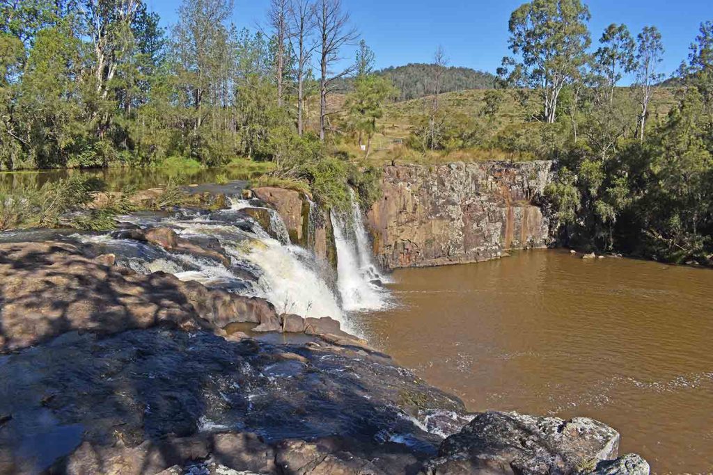
“The towns of Urbenville, Woodenbong and the Muli Muli Aboriginal community share the Tooloom Creek catchment.
“Doing the risk study jointly allows a greater understanding of the issues faced by border villages and enhanced cooperation in the face of natural disaster.”
The Floodplain Management Program has been running since the 1980s. Funding is usually provided at a 2:1 ratio, with $2 contributed from the State Government for every $1 provided by the council.
The grants support the NSW Flood Prone Land Policy, which aims to reduce the impacts of flooding on communities. Read the policy here.


