
Susanna Freymark
The fire near Evans Head started in Dirawong Reserve on Saturday night, September 30.
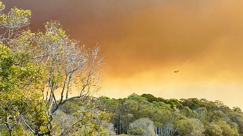
For three days, 20 Rural Fire Service units, six aircraft and 10 National Parks crews fought the blaze.
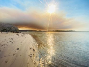
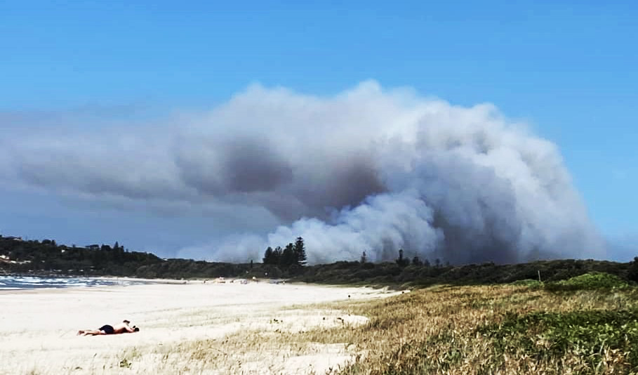
The wind was in favour of Evans Head – a strong northerly pushed the blaze south, away from the houses and the seaside town and into Bundjalung National Park.
National Parks and Wildlife Service led the attack on the fire and NPWS incident controller Matthew Wiseman said it could have been much worse.
The scale of the fire, the winds and the existence of a bombing range in the fire zone made it a tricky event to tackle.
Ordnance (unexploded bombs) in the bombing range were an unusual risk.
“It was unknown how many there were,” Mr Wiseman said.
“It is a legacy from World War II bombing practice.”
A 1.8km exclusion zone was made in the bombing range. Crews had no idea how many bombs could have been outside that zone.
Fortunately, no bombs exploded.
“We had to be cautious,” Mr Wiseman said.
“There was the potential for this fire to become very large.”
The worry was the predicted wind change at the end of this week, he said.
“The fire has now been listed as ‘contained’ but it will be a few more days before it is classified as safe.”
And it’s just in time. The possibility of that wind change and the impact on Evans Head took the fire to the top of the list in getting a water bomber from Sydney to assist in fighting the fire.
“The large air tanker did water drops and all the crews worked really hard,” Mr Wiseman said.
Two Fire Boss planes were able to skim over the Richmond River at Woodburn, collect water and fly directly to the fire front without having to stop mid-flight.
A helicopter using FLIR (forward-looking infrared) technology is mapping hotspots to help ground crews identify possible new ignition spots in the National Park.
This is new mapping technology that is shared in real time to all the crews fighting the fire on the ground, Mr Wiseman said.
The fire burned 1242 hectares but it isn’t all bad news
“It’s helpful it’s burnt,” Mr Wiseman said.
“We were intending on burning this area in two years. We had planned to burn to the west and it makes that planned burn easier.
The heath and swamp in Bundjalung National Park are used to fire.
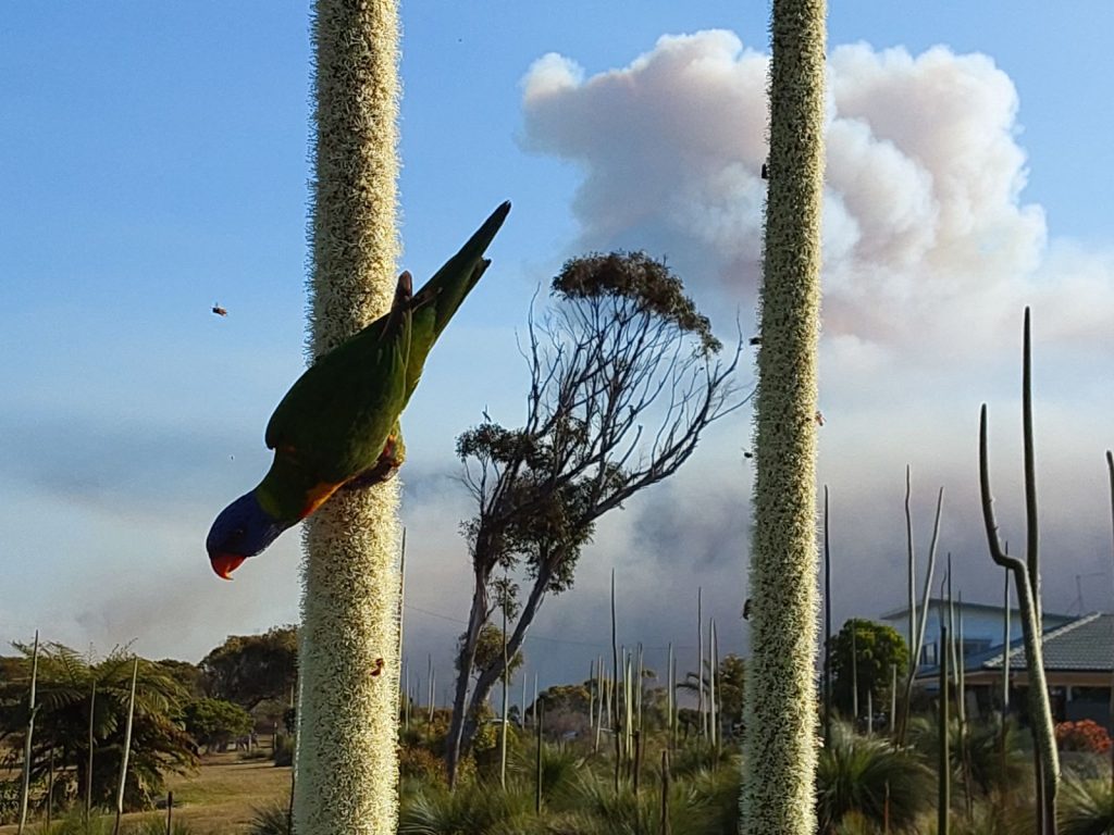
Even the endangered ground parrot likes it as they nest in the burned area, Mr Wiseman said.
There were pockets in the burn area that escaped the fire and that is good for the wildlife.
A fire the size of this one is not unusual at this time of year, he said.
“Our fire season is September onwards. What is unusual is down south having such a hard time.”
Mr Wiseman said National Parks teams worked well with the RFS and the aircraft team.
They will be keeping an eye on the charred ground for the rest of the week until all is well and truly safe.
Across the state there are more than 100 fires burning. One near Drake has burned 590 hectares and firefighters continue to battle the blaze.
Fire permits have been suspended in Richmond Valley, Kyogle and Lismore LGAs until Friday, October 6